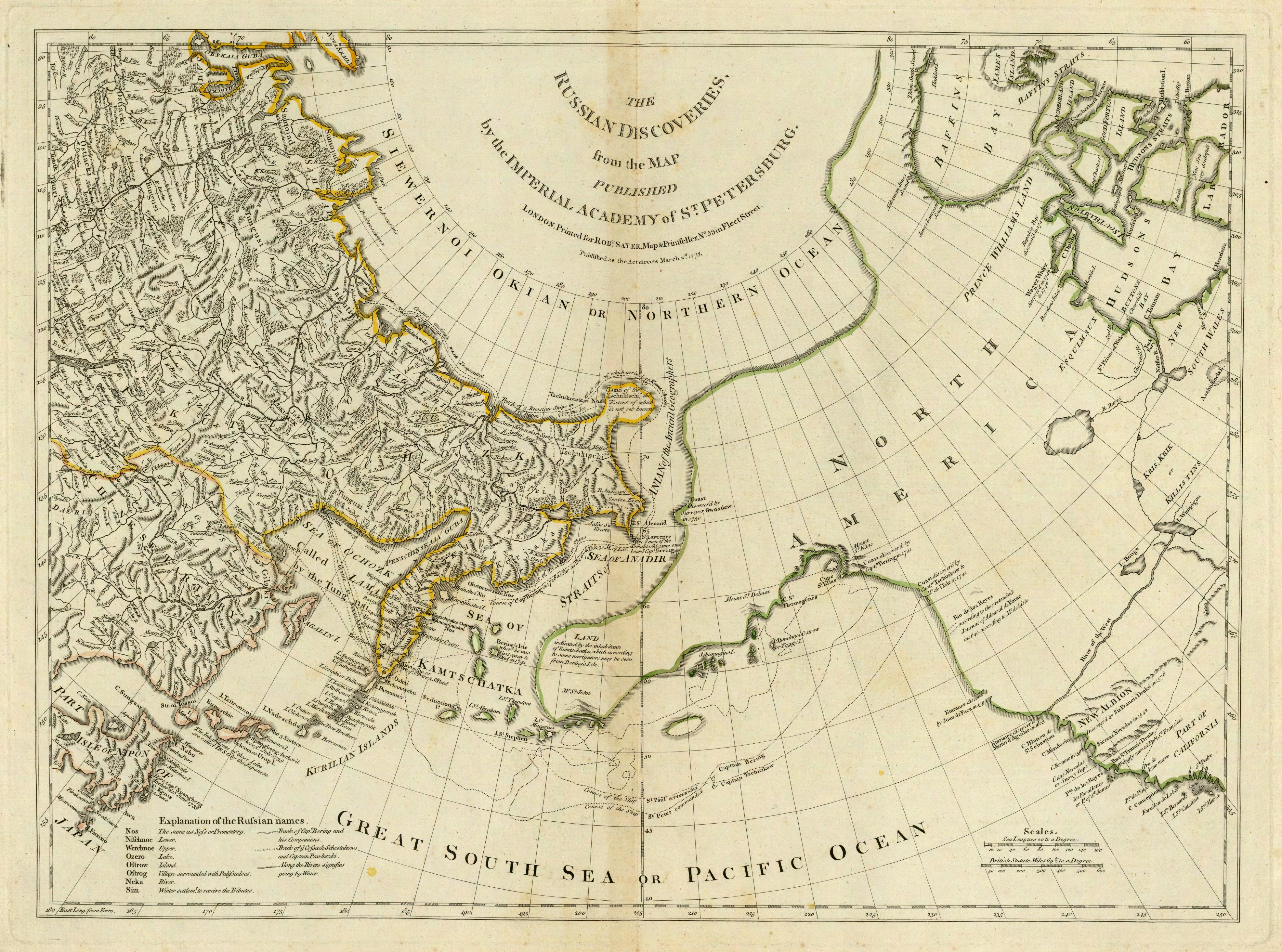
Thomas Jefferys
 Thomas Jefferys ( 1719 – 1771), "Geographer to King George III", was an English cartographer who was the leading map supplier of his day. He engraved and printed maps for government and other official bodies and produced a wide range of commercial maps and atlases, especially of North America.
Provided by Wikipedia
Showing 1 - 7 results of 7 for search 'Jefferys, Thomas, 1755-', query time: 0.07s
Refine Results
-
1Published 1765Other Authors: “…Jefferys, Thomas, 1755-…”
Call Number: Loading…Connect to this title online
Located: Loading…
Electronic Map -
2Published 1829Other Authors: “…Jefferys, Thomas, 1755-…”
Call Number: Loading…Connect to this title online
Located: Loading…
Electronic Map -
3Published 1830Other Authors: “…Jefferys, Thomas, 1755-…”
Call Number: Loading…Connect to this title online
Located: Loading…
Electronic Map -
4Published 1829Other Authors: “…Jefferys, Thomas, 1755-…”
Call Number: Loading…Connect to this title online
Located: Loading…
Electronic Map -
5Published 1830Other Authors: “…Jefferys, Thomas, 1755-…”
Call Number: Loading…Connect to this title online
Located: Loading…
Electronic Map -
6Published 1824Other Authors: “…Jefferys, Thomas, 1755-…”
Call Number: Loading…Connect to this title online
Located: Loading…
Electronic Map -
7Published 1759Other Authors: “…Jefferys, Thomas, 1755-…”
Call Number: Loading…Connect to this title online
Located: Loading…
Electronic Map
Search Tools:
RSS Feed
–
Email Search